
Route of the Three Aricos: Landscapes of Tosca
“Discover the wonderful trails of Tenerife with our expert hiker Francisco Fariña”
Trails of Tenerife: Route of the Three Aricos.
Index
The Ruta de los Tres Aricos is a route that joins the three main urban centers of which the municipality of Arico is formed; it is crossed by the Camino Real del Sur as it passes through its jurisdiction, an ancestral path that surrounded the entire island of Tenerife.
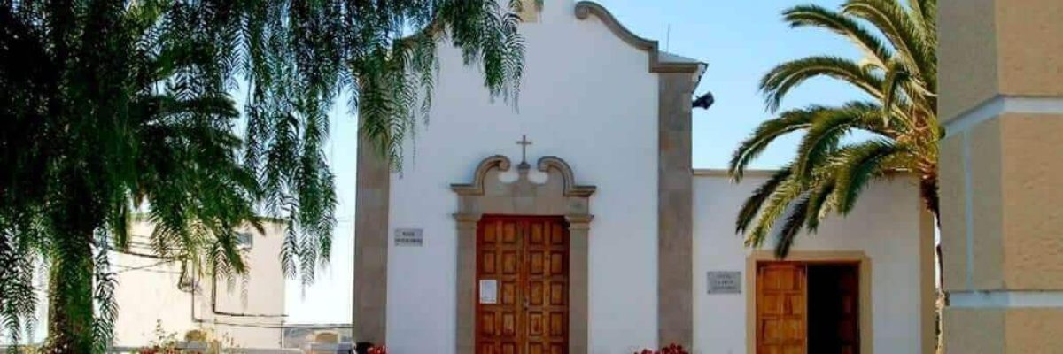
On Calle la Cruz, in the heart of the urban center of the so-called Caserío de Arico el Viejo, is the Chapel of the Cross within the main square of the town. On one of its sides, the Ruta de los Tres Aricos begins along Calle Vera de los Cangueros, where there is a post with an indication of the PR-TF-86 that indicates the direction to follow towards Arico el Nuevo, the next population center that we will find.
We will walk along a wide sidewalk that is attached to the asphalt and that runs with views of the arid midlands of the municipality and bordered by a wall of rough stone that delimits some orchards.
In a short time we will be wading through the Barranco de la Atalaya and we will soon see an access to our right that ascends through a paved pavement, which then continues next to a Calvary with a wooden cross, and ends in the main square of the Caserío de Arico el Nuevo.
Here is the Church of Nuestra Señora de la Luz, a temple of simple construction dating from 1768 and later enlarged in 1895, which houses a small bell tower of chasnera stone; Admire the characteristic stone of the area!
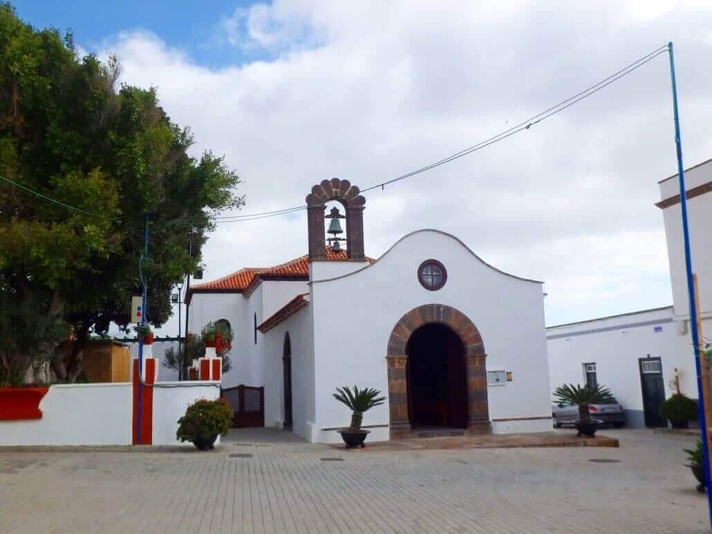
Arico El Nuevo, Asset of Cultural Interest (BIC)
The hamlet is listed as an Asset of Cultural Interest (BIC) with the category of historic site, as it houses an urban nucleus of great historical and ethnographic value and is a faithful reflection of the way of life of yesteryear in the Canary Islands and was, between 1924 and 1929, the seat of the capital of the entire municipality.
Next to the Church is the Plaza Benítez de Lugo, a pleasant place under large trees and in a very quiet and relaxed environment, you will not find such a place for a good chat!
Our tour of the Ruta de los Tres Aricos continues with paved ground along Calle las Cuevas, focusing on the southern slope of the Barranco de Polegre, where we can see some cave houses next to their corresponding orchards. These constructions were very common in the past, since the terrain itself composed of porous rough made it easier to carry them out.
Then we will continue on asphalt between some houses, fording a small ravine in the Hoya la Tosquita, where there are some perfectly habitable cave houses next to the road. It immediately becomes a narrow path with a compact dirt surface, which is the old Camino Real del Sur and has been since we started the route in Arico el Viejo.
We walk the Camino Real del Sur
This path leads to cross the Barranco de Polegre and does so through a magnificent cobbled path that descends gently between some specimens of Tabaibas. Once we have crossed it and stepped on the sandy riverbed where a characteristic ecosystem of the south grows, made up of Balos, Cornicales and Verodes, we will go in search of the climb that ascends equally cobbled advancing sinuously, very marked and perfectly founded on a very consistent dry stone wall.
Many Jaguarzos, Verodes, Cruzadillas, Palominas, Matorriscos and numerous plant species characteristic of the southern midlands grow on the edges of the route; Be a botanical observer for a day!
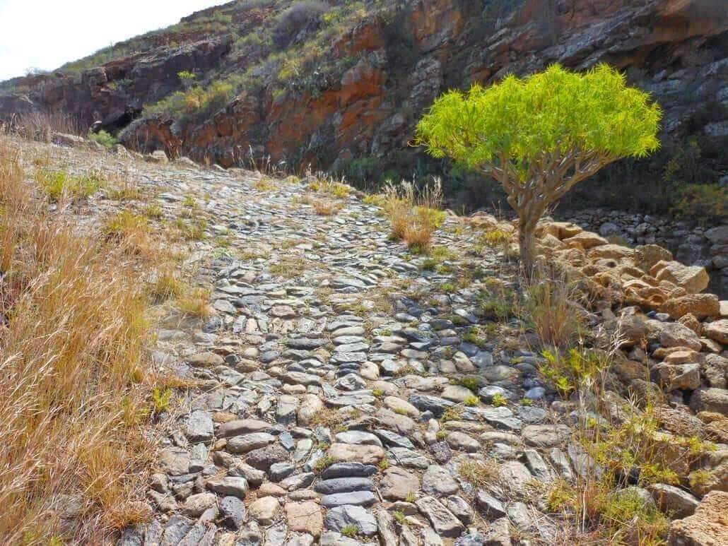
We crown the slope of the ravine by a small somewhat degraded section and then we will find a wide path bordered by a dry stone wall that advances along the Hoya de las Calzadas in a straight line, with a mixed surface and gentle slope, composed of the natural roughness of the terrain with some cobbled sections.
On one side of the road box there is a solitary Canary Island Pine and in the surroundings grow some Balos, Cornicales and Verodes, native vegetation of the Canary Islands. This section ends on an asphalt street, where we will take a left until we find a fork where there is a sign for PR-TF-86 and another indicating the name of the place where it is going, which is El Viso.
Tour between Crop Gardens
We will continue on asphalt between some greenhouses, until we find a dirt track on our right along which we will go, until we see how a narrow path deviates to the left that ascends next to the wall of some orchards and then flattens out between them, and then turn right again and ascend gently to the side of an agricultural track where there is a pond of water.
Then the Route of the Three Aricos makes its way through Jaguarzos, Bejeques Punteros and Incenses, in the vicinity of the base of La Montaña (502 m.) and further on descends with a fairly stony and somewhat narrow surface towards the Barranquillo de los Ovejeros.
Once in the riverbed itself, we will climb on a surface composed of petrified coarse, between Piteras, Balos and Pencones, which grow next to a dry stone wall that delimits the pass.
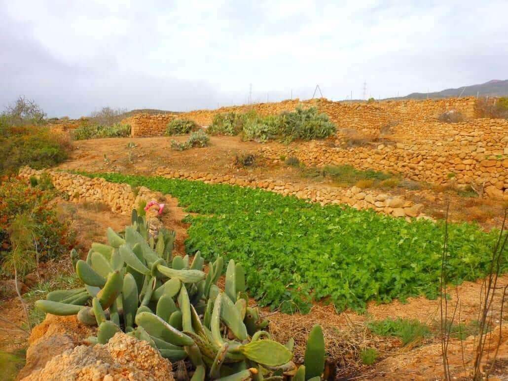
A sign from the PR indicates the precarious exit of the riverbed through a very degraded pass that ascends between some orchards and ends shortly after in an asphalted street in the Caserío de Teguedite. Next, we will take a right ascending through an agricultural area until we connect with another asphalt road that runs perpendicular to our direction and that is the old Camino Real del Sur that comes from the neighboring municipality of Fasnia.
We continue to the left always in a gentle ascent bordered by walls of rough stone on both sides, which belong to some cultivated orchards. Then the path continues to advance to the left along a recently paved road that gradually descends towards the bed of the Barranco de Teguedite.
We are nearing the end in Lomo de Arico
Once in it, we start the ascent along a beautiful stretch of cobbled path that ascends in zigzag through the Lomo de Teguedite; further on, in La Hoyita, it loses the pavement and runs on a dirt surface and somewhat narrower, until it returns to its splendid cobblestone surface a little before it ends at the Carretera General del Sur, the TF-28.
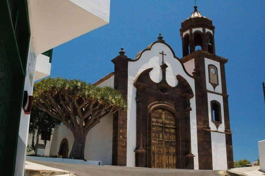
We cross this and just in front of it the original cobbled path continues to ascend, which ends shortly after in Calle la Asomadita, also cobbled, culminating in the Plaza de los Condes de Santa María de Abona, annexed to the Church of San Juan Bautista, the main temple of the municipality of Arico dating back to the eighteenth century although its origin was from 1639. A must-see for the urban environment!
Here the Routeof the Three Aricos ends, ask for the climbers’ bar, there is good food and a mountaineering atmosphere.
If you want to know other trails on the island, visit the website of our route expert Francisco Fariña.
https://franciscoadanfarina.blogspot.com/
Facebook: Francisco A. Fariña Encinoso