
The Barranco de Añavingo: Encounter with history
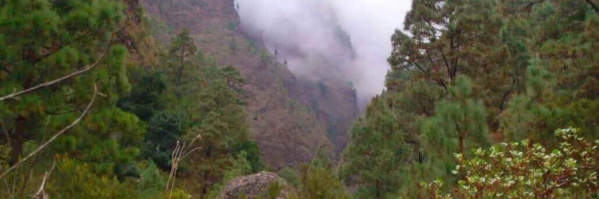
“Discover the wonderful trails of Tenerife with our expert hiker Francisco Fariña”
Trails of Tenerife: The Barranco de Añavingo
Index
Location and how to get to the Añavingo ravine
To get to the Barranco de Añavingo or also called Barranco de las Madres, starting from the Plaza de San Juan Degollado, go up Calle de La Libertad to the north to the Esquina de los Carros, a crossroads in the place known as Plaza del Llano, where an old house of traditional Canarian architecture is located that was the home of the illustrious character Secundino Delgado.
Then continue Eduardo Curbelo Fariña street and without turning off through any of the intersections that we find, we will reach the end of the asphalt, it is the place known as Canal Alta.
This entire tour can be done by car, being recommended precisely the opposite, in order to visit part of the historical heritage of the Villa de Arafo, such as the Church of San Juan Degollado, from the end of the eighteenth century, the Esquina de los Carros, where the House of Secundino Delgado is located and further on the Lavaderos and the Molino de Gofio, all declared Asset of Cultural Interest (B.I.C.) with the category of Ethnographic Site.
An architectural complex built in 1895 in a strategic place of water use, as it was used precisely in a place where the water obtained from the nearby galleries passed through. It is an important part of the history of the Villa de Arafo!
Visual Panoramas of the Villa de Arafo
Being in the Canal Alta, from where we can enjoy beautiful views of the Villa de Arafo, a gently ascending path starts that enters the bed of the Barranco de Las Gambuezas. The path then ascends on a steep slope between almost abandoned terraces and sheltered by the slopes of the Lomo Abarzo. Some Escobones, Pencones and Piteras mark the almost lost path up between the walls of some crop plots.
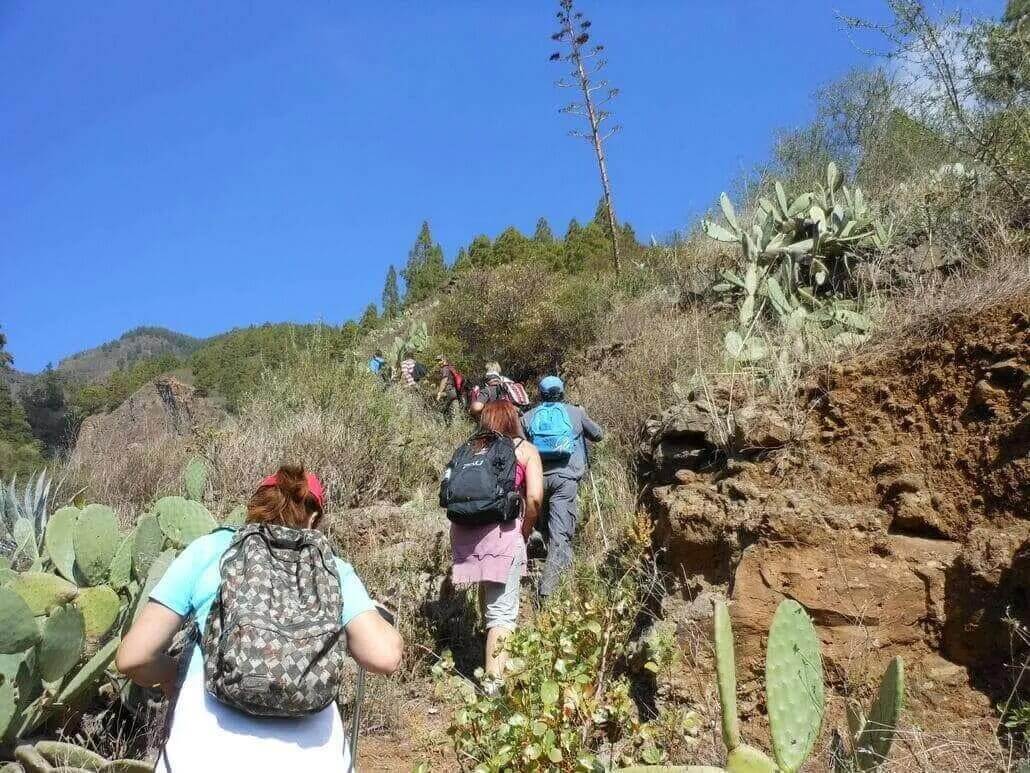
After the tedious climb, the path of the Barranco de Añavingo reaches the first specimens of Canarian Pine that make up the extensive pine forest of the upper part of the municipality, leading to a path that runs horizontally through the Lomo Abarzo and where the fork that ascends to Las Morras is.
If we were to take a few meters to the left, it would lead us to a hydraulic register that overlooks the Barranco de Las Gambuezas where there are fantastic views of this deep gorge; Take a look carefully at this natural viewpoint!
The correct direction is to the right, along a path that preserves a channel that brings water from the Amance Gallery, one of the most plentiful, together with that of Los Huecos when these supplied a large part of the Güimar Valley.
The path continues with a compact surface and a flat surface, increasingly integrated into the pine forest, where you can see several species of trees and shrubs endemic to the Canary archipelago such as the Viñátigo, the Faya and some Strawberry Trees. Further on, where the vegetation is less lush, the view allows us to see the Lomo Cambado, the northern slope of the Barranco de Amance, which is covered with terraces.
These, in the past, served as a crop since this part of the municipality was one of the richest hydraulically speaking; the forest track that leads to the Galería de El Drago in the bed of the ravine is also evident.
We enter the Channel
After having traveled approximately a thousand meters from the starting point, you reach the end of the path and with it a descent to the bed of the Barranco de Añavingo, where there is an aqueduct with cement pillars that supports a channel from the Galería de Amance and which is the same one that has come from the side of the previous path.
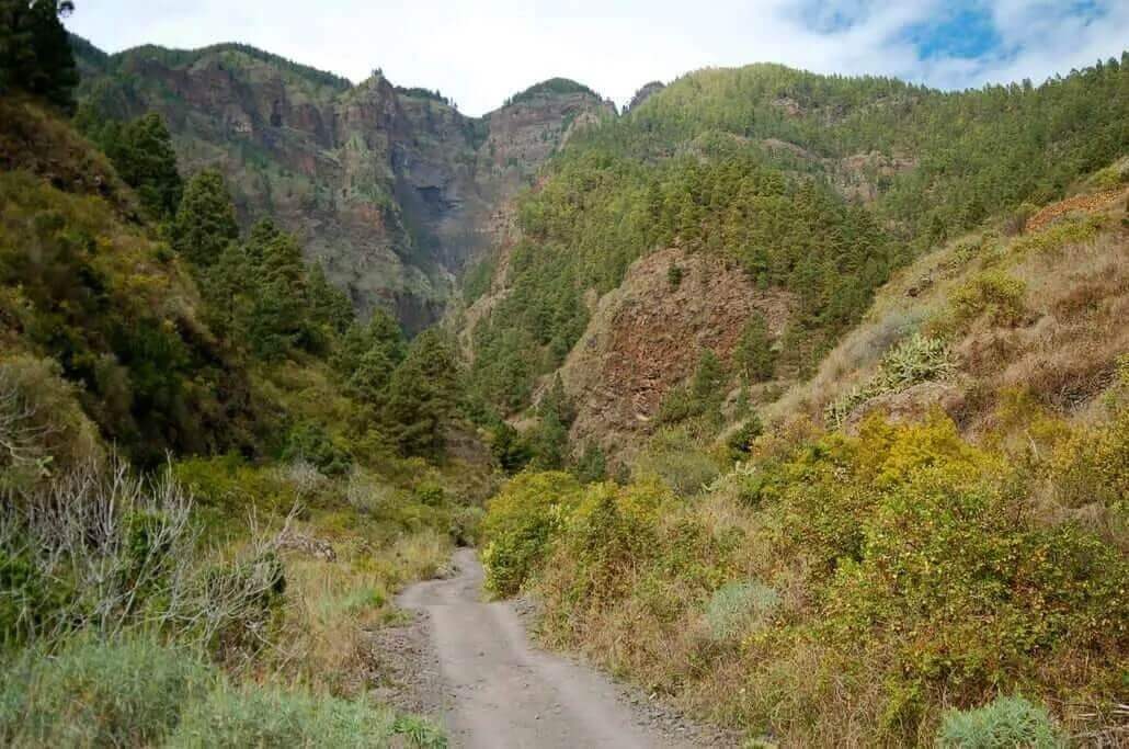
From here the path ascends gently and runs between large cliffs that plummet from more than three hundred meters high, the steep slopes of the ravine make it a real enclave where a unique ecosystem of plant species subsists.
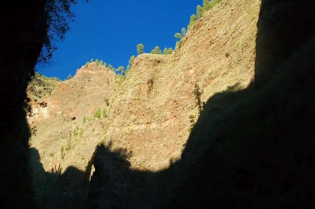
At a point in the route the path deviates a little to the right of the riverbed and passes under a small pine forest, here the terrain becomes unstable as it is an area of picón, very light volcanic material that has settled on the path and that comes from the adjoining eroded wall, although it is reinforced with wooden steps.
The walk is very pleasant due to the little sunshine that arrives, making the microclimate inside the ravine quite benign. Later, almost reaching the Sanctuary of San Agustín, an abundant population of Follaos, Helecheras and Bicacareras mark the route, until we come across a stepped climb that will take us to the chapel.
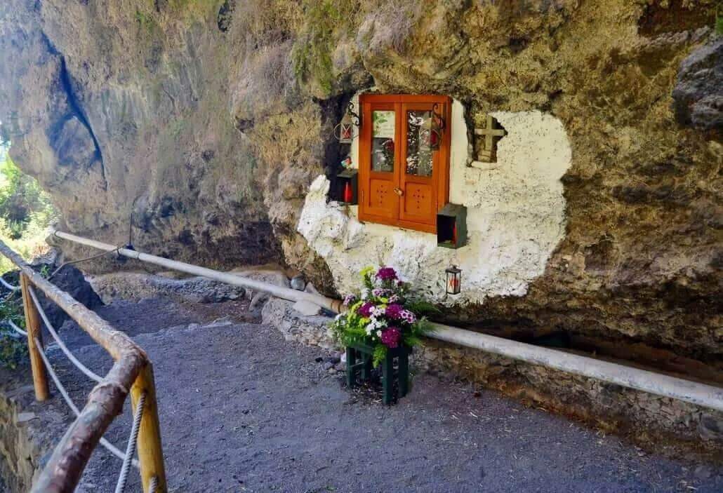
This sanctuary is pierced in the cliff and protected by a small wooden and glass door that allows you to see inside the small saint, popularly called “San Agustinito”.
The Miracle of St. Augustine
A miraculous legend is attributed to this Saint related to the extraction of water so necessary for man’s subsistence. In the daily chronicles of the town and if the visitor had the opportunity to mingle with the inhabitants of the town, he would undoubtedly know first-hand this magnificent story, dare to ask the elders!
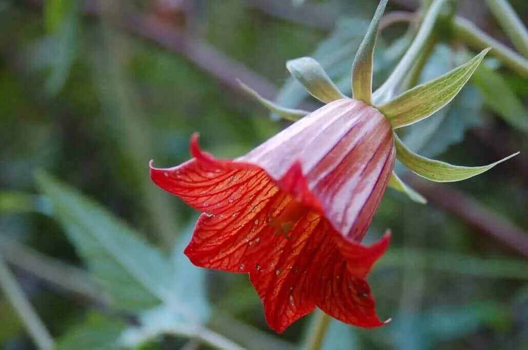
On the edges of the highest and most impassable cliffs of the Barranco de Añavingo there are very small populations of the so-called Cabezote de Añavingo (Cheirolophus metlesicsii), a plant species endemic to the place, which is only found in this place; A hidden natural treasure!
The return is not possible to do elsewhere, therefore, we will retrace the steps that have brought us here, this time in a gentle descent to the channel that ran over a bridge.
From there the path of the Barranco de Añavingo ends on a dirt track with a very stony surface where there is a small esplanade with a large chestnut tree and a fork that ascends to the left and that would take us to the Galería del Drago, we must ignore it and continue the route along the track that crosses the Barranco de Amance in a gentle descent.
On the way we will find on the right the Lomo Cambado Gallery and the rubbish heap that has generated it; the vegetation on the margins is made up of rockroses, vinegar trees, fig trees and several isolated pines. When we find a cement bridge that supports the passage of a canal and crosses the ravine from side to side, we will turn right and a few meters later an ascent will take us to cross the bed of the Barranco de las Gambuezas and with it at the end of the route in the Canal Alta, same place of departure.
If you want to know other trails on the island, visit the website of our route expert Francisco Fariña.
https://franciscoadanfarina.blogspot.com/
Facebook: Francisco A. Fariña Encinoso